Boundary delimitation plays a significant role in both the plurality majority electoral system and systems of proportional representation by maintaining the proportionality of the number of representative seats allocated to an electoral district, as well as upholding the fairness principle in an election.
The main objectives of the boundary delimitation process are to achieve proportionality in the citizen-to-seat ratio in an electoral district under the ‘one person, one vote, one value’ (OPOVOV) principle, while also ensuring the cohesiveness and integrity of administrative regions, as well as building political, social and cultural ties between voters and their representatives.
Problems arise where boundary delimitation results in electoral districts that are disproportionate, or even actively contradict the principle of fair elections, for example, in cases of malapportionment or gerrymandering, where electoral districts are intentionally designed to benefit certain electoral participants. Therefore, it's important that boundary delimitation follows the standards and basic principles of electoral districting.
This page outlines general boundary delimitation principles and international standards and provides a non-exhaustive list of resources on this topic.
Please contact International IDEA if any of the information requires further updates:
ADHY AMAN, Senior Programme Manager – Asia & the Pacific
Tel.: +61 420 90 3465 / Email: A.Aman@idea.int
ALISTAIR SCRUTTON, Head of Communications
Contact the Head of Communications for all press inquiries.
Tel: +46 707 211 098 / Email: a.scrutton@idea.int
ERA App
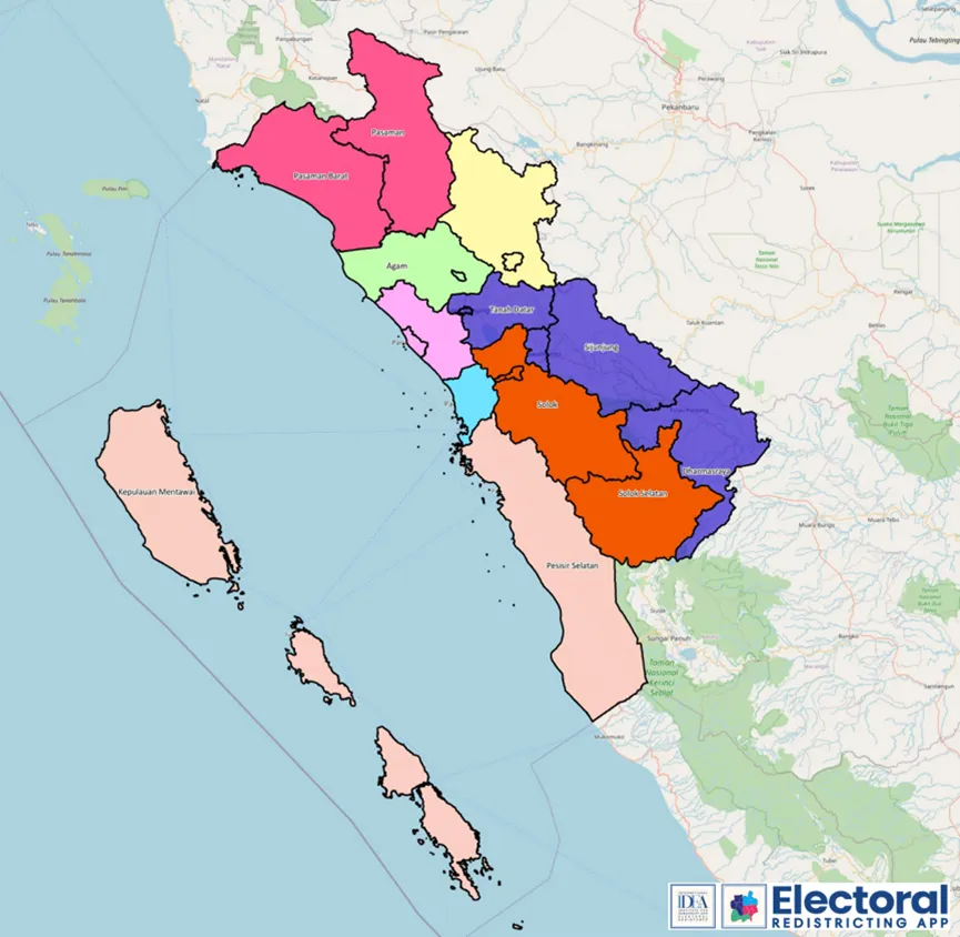
Electoral Redistricting App (ERA) is a universal technological platform or tool for creating electoral districts that could help inspire an electoral boundary delimitation process that conforms international principles and best practice. Through this technology, the creation of electoral districts can be done with relative ease at little or no cost. This application allows the utilisation of digital maps and geographic information systems (GIS) by electoral management bodies, boundaries commissions and the general public in systematically guiding the delimitation of electoral boundaries towards fulfilling the principles of one person-one vote-one value (OPOVOV), contiguity and compactness, to name a few.
The use of this Electoral Redistricting App also makes the delimitation of electoral boundaries process more transparent and accessible for anyone interested in researching and advocating for different options of electoral district boundaries.
Who will benefit from using the Electoral Redistricting App?
The following users will benefit from ERA:
- Electoral management bodies responsible for forming electoral districts, but not already in possession of an electoral boundary delimitation software.
- Civil society activists wanting to develop and advocate alternative electoral district boundaries.
Political parties looking for a low-cost solution for analysing existing electoral boundaries and for proposing changes. - Academic researchers looking for a free-to-use geographical information system software that helps them in researching the effects of changes to electoral boundaries and other related research.
International IDEA´s Resources
This section includes a list of resources and publications by International IDEA:
- The ACE Project, Boundary Delimitation.
- International Electoral Standards - Guidelines for reviewing the legal framework of elections, Chapter 3: Electoral Boundaries.
Resources from Other Institutions
This section provides a non-exhaustive list of external resources and publications:
- Election Standards at the Carter Center, Electoral System and Boundary Delimitation
- International Foundation for Electoral Systems, Dr. Lisa Handley, Challenging the Norms and Standards of Election Administration: Boundary Delimitation
- International Foundation for Electoral Systems, Dr. Lisa Handley, Delimitation Equity Project – Resource Guide
- OSCE, Delimitation and Demarcation of State Boundaries: Challenges and Solutions
- CoE, Report on Constituency Delineation and Seat Allocation
- Central Election Commission of Lithuania, Case Study Lithuania
- Tindak Malaysia, Electoral Boundaries (Hackathon Politik: Rules of The Game)
- Tindak Malaysia, Redelineation in the Age of UNDI 18
- Tindak Malaysia, Understanding Redelineation
- Tindak Malaysia, Case Studies for Redelineation
- Australian Election Commission, Federal electoral boundary GIS data
- New Zeland Electoral Commission, How are electoral boundaries decided?
- Elsevier Journal, Ong, K.-M., et al., Malapportionment and democracy: A curvilinear relationship, Electoral Studies (2017).
This page was first published on 27 July 2022 and is updated on a regular basis based on International IDEA's research.


